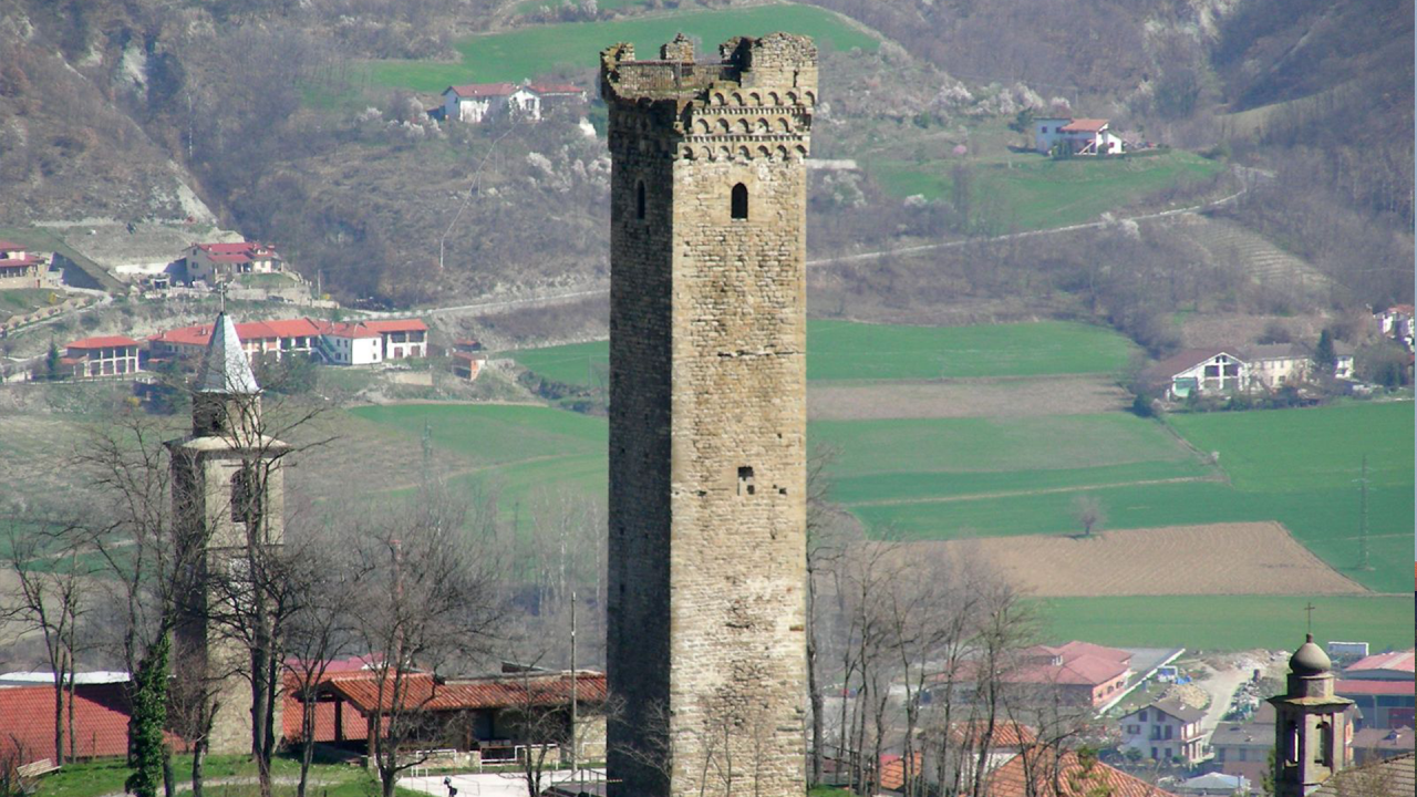
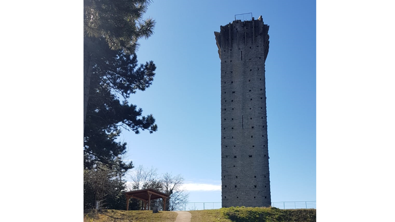
Continue downhill next to the bar, towards the closed Aurora restaurant, on asphalt, cross and take a short short cut to the hairpin bend below (obvious yellow signs) continue on the provincial road, reach the cemetery of San Giovanni with a small Romanesque church. At the fork in the road, take the provincial road 24C for Denice. When you reach another bifurcation stay on the left, after 50 m. take the path on the right uphill that leads to the woods and the 4th tower. Tower of Vengore, isolated on a small hump with adjoining picnic area and services. ( tot. Miles. 20,800, h 1. 45 by O. G. ). From the tower go down on the opposite side following the coloured (colored) path to the car park and continue on the right, cross the provincial road, take the downhill path, at the crossroads with cart road go left on a small road. After 30'; along a small road, on the right, there is a centuries-old oak tree of naturalistic interest, at the base 4. 00 m of circumference. Once arrived on asphalt continue to the right, view of the Bormida di Spigno valley, after 70 m . go right on a dirt road uphill, follow it halfway uphill, you arrive on a hillock with a view of the tower of Denice, from where you go down a path in the woods below and you arrive on a gravel cart road, on the left Roman houses. You walk along the border between the Province of Asti and Alexandria.
When you reach the asphalt go right, and after the votive chapel take the path on the left. Once on asphalt continue straight on towards Denice, at the crossroad stay on the left; after 30 m. take the dirt road on the right slightly uphill, Campassi area, follow the road uphill and downhill and at the fork stay on the right, then at the crossroads continue straight downhill until Santa Libera, small church with adjoining refuge for young people 18 p.(?) (owned by the Municipality of Monastero B to turn to for possible use), (tot. Miles. 26. 700), follow on asphalt uphill, after 30 m. take a small road on the right in front of the vineyard, then at the fork go left, shortly after you arrive on asphalt, continue right and after 50 m left downhill on a path, arrived on asphalt go right, then left again downhill until the wooden telephone pole, go left for 30 m. , leave asphalt and follow grassy road almost flat, after 200 m. back on asphalt, after 50 m. take right dirt road that leads between the houses on the outskirts of M. B. and continuing after a short stretch you will reach the medieval bridge of Monastero Bormida and parking on the right. 5th Tower in the medieval centre.
Along the route immediately after Località Garroni in the direction of Monastero B. da, before reaching Santa Libera, it is possible to deviate the route towards Denice: turn right near the C. la di Denice on path 572. After passing the Bric del Vallone on the left you reach Denice. From the centre of Denice continue on path 572 towards Montechiaro Piana. You rejoin Bonini at the sports ground and from there you continue on the road to Montechiaro Piana.
From the centre of Monastero B. da continue on path 500A until you reach S. Desiderio. It connects to path 571 of the itinerary of the Country Churches and Calanchi. After a few minutes you reach the centre of Ponti. Along this stretch there are the following points of support: Monastero Bormida village rest area, S. Desiderio rest area and Ponti rest area.