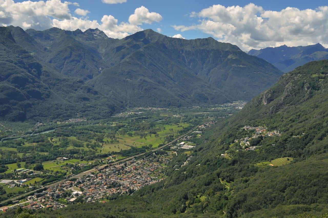
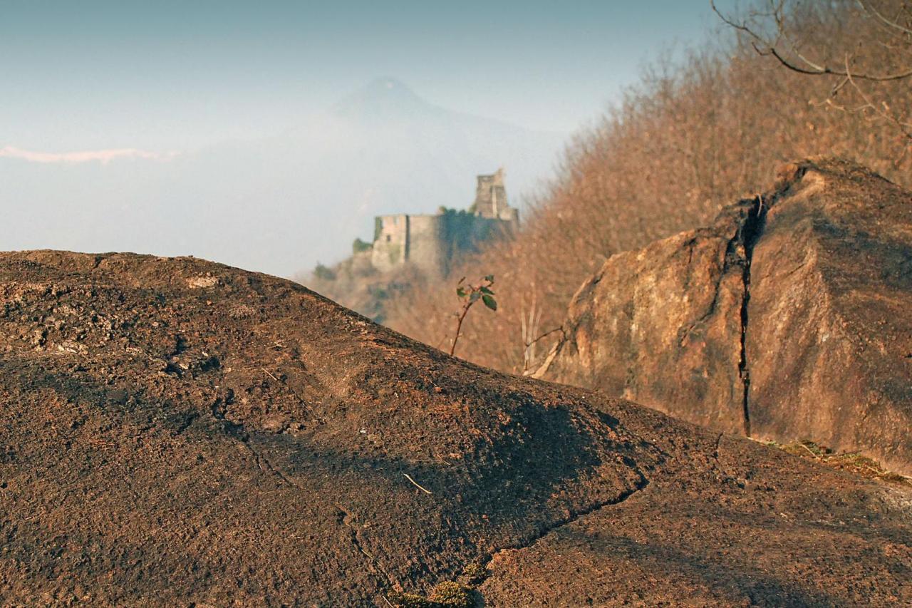
Between Vogogna and Premosello you can follow a geological itinerary equipped with didactic panels. The trail offers the exceptional opportunity to "cross" the continental crust, observing rocks that formed at different depths and in different periods. Along the equipped itinerary you pass from the European paleocontinent, involved in the genesis of the Alps (50 - 30 million years ago), to the African paleocontinent that preserves rocks and structures formed about 300 million years ago; at the same time you "descend" to the contact between the crust and the mantle, generally located at a depth of 30-35 km, here exhumed by tectonic processes. The route, equipped with explanatory didactic panels, climbs from the castle of Vogogna up to the Fortress and then it continues along the rocky crags overlooking the Toce plain up to Premosello. In the westernmost part, the route crosses the phyllite rocks deformed by friction along the Canavese Line, a strip along which the alpine construction overlapped the most ancient southern area of the Alps. A little further on, you can observe the direct contact between the rocks of these two areas (Schists of Fobello and Rimella and granulites of the deep crust of the Ivrea Verbano area). From a panoramic viewpoint, located on "sheepback" rocks, you can observe the pre- and post-glacial morphology of Toce Valley. After coming across the pseudotachylites, testimonies to ancient earthquakes, at the eastern end you can reach the contact between granulites and peridotites, which represents the discontinuity of Mohorovicic (or "Moho"), that is, the crust-mantle contact.