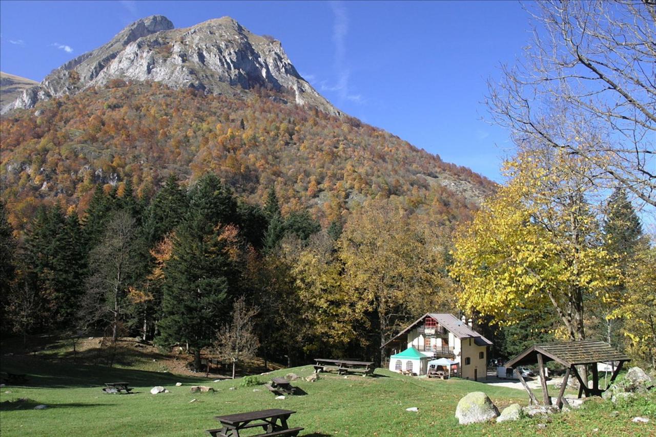
This first stage, belonging to the ring-route called Giro del Marguareis, which in turn represents the easternmost portion of the Alta via dei lupi (High Route of the Wolves) itinerary included in the Proposed Intervention, falls for the first stretch in the territory of the C.M. delle Alpi del Mare, to continue in the territory of the C.M. Alto Tanaro,Cebano, Monregalese to which the Mondovì Refuge belongs. The Marguareis Tour originates in the Pesio Valley, at an altitude of about 1,000 metres near the Pian delle Gorre Refuge, a characteristic structure surrounded by meadows and woods. The hut in the beautiful clearing between the silver fir forests is the starting point for various hikes. From here, the trail reaches Pian del Creus (1h - 1,269 m) and then, passing through the white fir (Abies alba) forest and crossing, the alpine pasture Gias Madonna (2h - 1,653 m). From here we turn right and, after a long traverse that passes the Gias della Costa, we reach the Gias Soprano di Sestrera (3h 15 min - 1,824) and from here the Garelli Refuge, located at 1,960 m, a magnificent place from which we can admire the overhanging rocky walls of the Marguareis and the high-altitude pastures. Near the Refuge, it is possible to visit one of the most significant botanical stations of autochthonous alpine plants cared for by the Park Authority. From the Garelli Refuge, the route climbs to the Colle di Porta Sestrera (1h - 2,225 m) and the Lapassè Pass to descend into the past valley that hosts Lake Biecai. From the lake basin, in a karst area, you soon reach the destination of the first stage: the Mondovì hut, at an altitude of 1,761 metres.