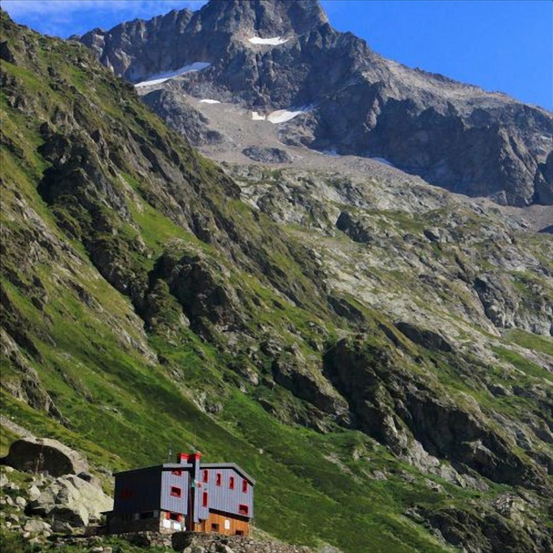
From San Giacomo di Entracque, just beyond the Park's excursion hut, the road (marker M11) becomes a dirt track and begins to climb the Vallone della Barra in a beautiful beech grove. The beech trees quickly thin out and the landscape takes on the appearance of rich pastures dotted with sparse shrubs (red elder, etc.). Leaving the Gias Isterpis on the left, we continue along the easy dirt track at the bottom of the valley. Go past the so-called Piazzale dei Cannoni and, a little further on, turn left off the grassy dirt track that descends to the Gias della Siula. At the next hairpin bend to the right, a track that branches off to the left and rejoins the dirt track further uphill, allowing the route to be shortened. Around q. 1650, at the base of the rocky drop known as the Peirastretta Passage, another small path on the left, quite evident, avoids a few bends in the dirt track before rejoining it. After the fork on the right for the Colle di Fenestrelle (marker M10), which is left out, the dirt track fords the Torrente Gesso della Barra stream. On foot, instead, cross the stream on the wooden footbridge positioned to the left a few metres before the ford. Immediately beyond the footbridge is a junction, still to the left, with the steep but short track that climbs directly to the refuge. The off-road track, on the other hand, stretches towards the S in the wide pastureland basin of the Piano del Praiet until it meets a branch of the stream again, just at the fork to the right for the Colle di Finestra (marker M11) and the Pera de Fener (marker M18). The road fords the stream and, bending now towards the N, gains the high ground on which the Soria hut stands.