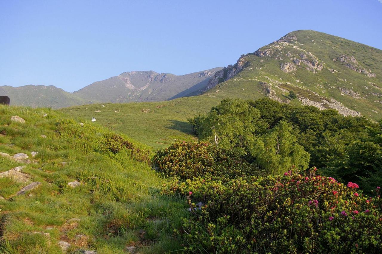
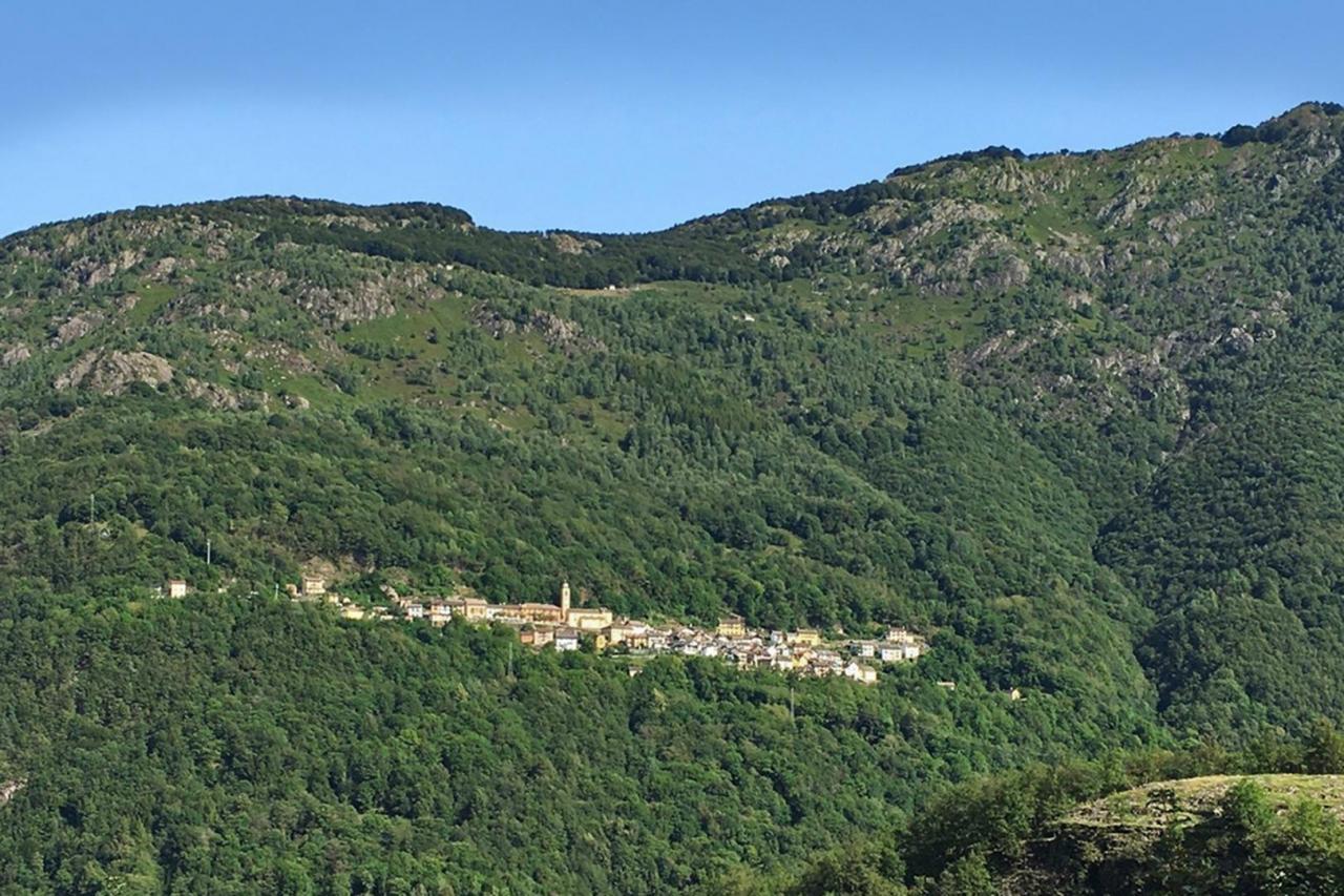
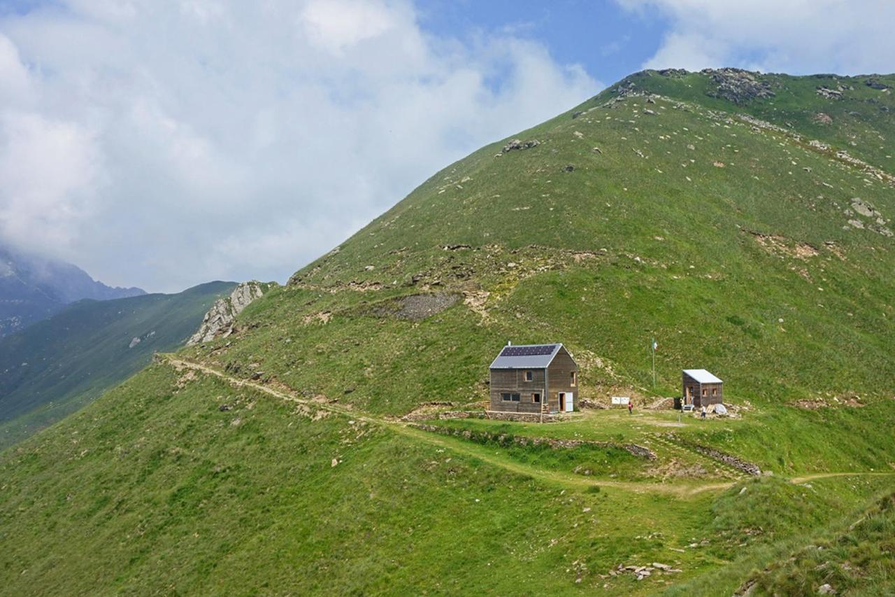
The departure from Cannobina Valley allows the cross-border connection of the itinerary. Start from Cursolo, from the square of the Town Hall and, along an easy trail through a broadleaf forest, climb up to Monte Vecchio, the historic alpine pasture of the village of Orasso. You can descend to Orasso along a mule track through one of the most representative chestnut forests in the province of Verbania, with big chestnut trees, now abandoned and gradually swallowed up by the forest. From Orasso, along a flat mule track, go back to Cursolo and, without entering the village, go past the Eira stream (with interesting geomorphological features) and immediately after an old mill, take the mule track on the left that goes down to the hamlet of Aretta. From here, go towards Finero for about 600 m along SP 75 of Cannobina Valley until you find the trail on the left that descends steeply to Ponte Teia, over the Cannobino stream, in a deep and suggestive gorge deriving from the river erosion. The trail continues in the gorge, among forests of linden and alder, it crosses a tributary of the Cannobino and then it goes back to Gurro, climbing a slope of about 350 m. Upon reaching the village, with the parish church behind you, keep to the left, take via Falmenta and reach the small valley located in the south of the village by keeping again to the left on a flat track. After a chapel and leaving the last houses, the trail ascends and reaches Passo della Mergugna, climbing a slope of about 200 m. From Mergugna the trail, losing about 300 m of elevation, descends to Falmenta and reaches the village just above the church of San Lorenzo. After reaching the church square, walk along the first segment of Via Roma and turn left, going down towards the Town Hall and going out of the village. From the Town Hall, take the trail that goes down to the valley, up to the bridge over the Falmenta stream, becoming a steep and twisting staircase; the trail continues on the opposite side, climbing up the valley to Crealla, with an easier slope in the last segment at 600 m altitude and coming out in the square of the church dedicated to St. Peter. From the centre of Crealla, the itinerary goes in the direction of Monti Barro, along an old mule track, which branches to the left and climbs up through a steep beech forest, slightly touching the left edge of the pastures, until it reaches a pass from which you can see Monte Zeda. From here, continue on the left and gain elevation up to the meadows of Ortighedo (1401 m). Leave Ortighedo and follow the trail that runs along the north-eastern side of Monte Vadà, going past the head of the valley of Crealla with numerous ascents and descents. After a short segment through the beech forest you arrive at the eastern ridge that descends from Vadà, close to a water collection basin (1430 m). Take the right and go up the ridge along trail VBAR19, on a clearly visible and steep track, first through pastures, then on difficult but not dangerous passages on rocks, until you reach the last hairpin bend of the Cadorna military road that connects Passo Folungo to Pian Vadà. Here the itinerary continues along the military road to Pian Vadà (1711 m). In Pian Vadà you can stay overnight in a non-managed closed refuge or in a bivouac. Both facilities belong to the Park Authority. The refuge provides 14 beds in a large room, it is heated with a wood-burning stove and has electricity produced by a photovoltaic system. For the overnight stay, reservation is required at No. 0324-87540 of the Park Authority. The bivouac, unattended and always open, provides 3 beds on wood flooring and it is not heated. In the pertinent area of the buildings there is a water fountain.