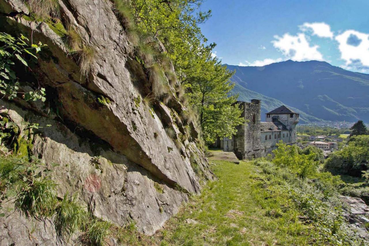
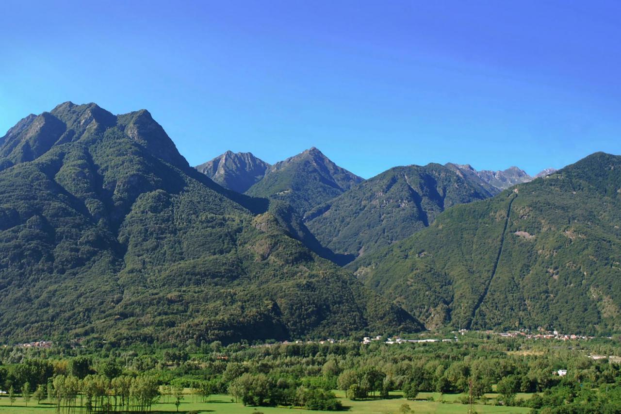
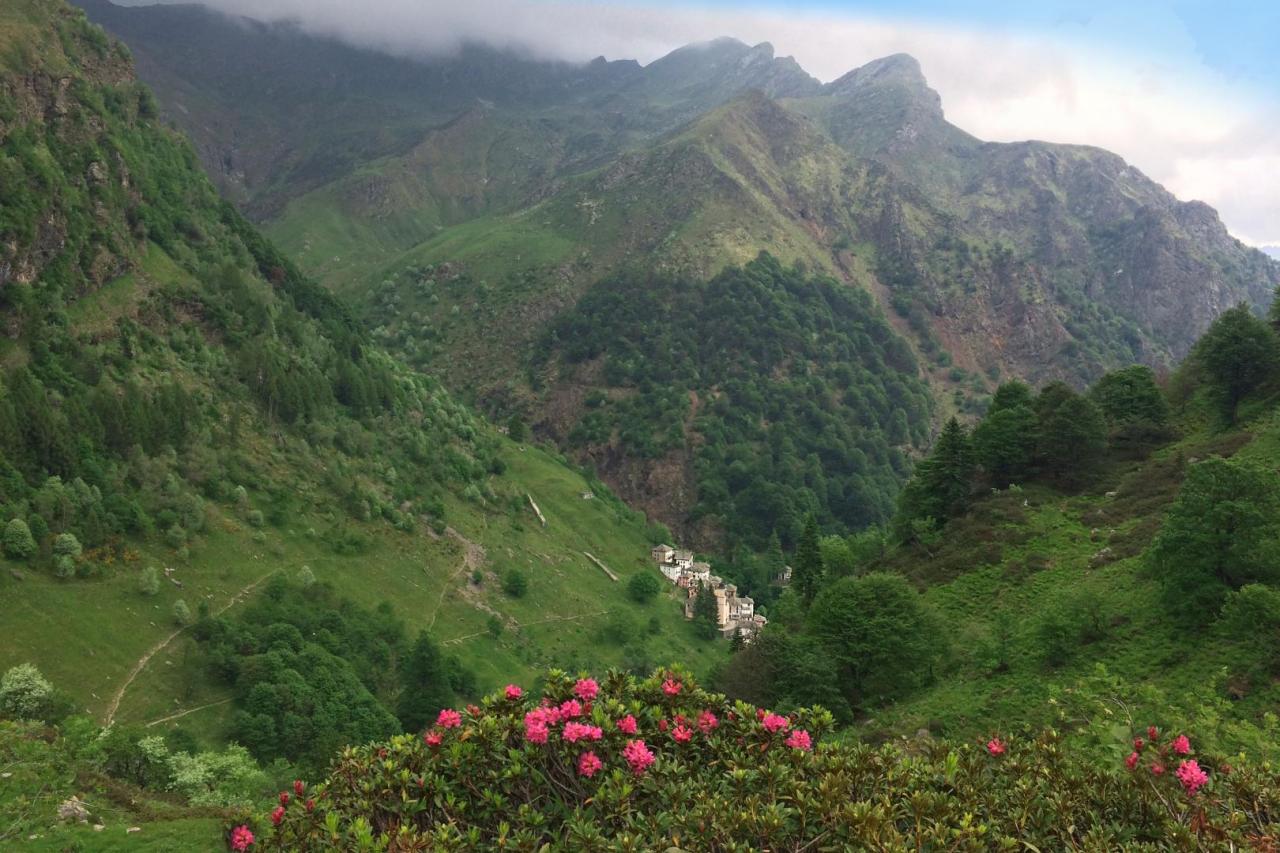
From the parish church of Vogogna in the historic centre, follow Via De Regibus and then Via San Carlo up to SP 166 of Ossola Valley. After crossing it, take Via Passerella until you arrive at the municipal sports ground. Turn right, skirting the railway embankment for about 300 m, then turn left and, after another 250 m, turn right towards the river Toce that you cross using the footbridge for pedestrian/road use. At the end of the footbridge, after reaching the municipality of Pieve Vergonte, turn left, take the dirt road that runs first behind an industrial area and then, through fields and meadows, you get to the village of Rumianca. Walk along Via Marconi and, taking Via Leopardi to the right, cross Via Roma and take Via delle Alpi until you reach the agro-silvo-pastoral road that goes up into the chestnut forest (trail VBAA41). Follow it and, after reaching Alpe Pianezzo, the route turns left and continues on a sloping ground to Alpe Mazzucchero, where you find a water fountain. After passing Alpe Mazzucchero, the trail goes up into the beech forest until it reaches Alpe Negarei, where the beech forest becomes an area covered with alpine shrubs of alder; then you reach Alpe Pian Lago, where the homonymous bivouac is always open, in the municipality of Pieve Vergonte. From Alpe Pian Lago, you can admire a wide panoramic view of the mountains of the Val Grande National Park and the valley of the River Toce, before continuing eastwards on trail VBAB97 that leads to Lake Ravinella at an altitude of 1970 m asl. From here you shortly reach the nearby Colle di Ravinella, enter into Strona Valley and then, through high altitude meadows, you can start the descent on trail VBAZ99 towards Campello Monti. During the descent, near Alpe Cunetta di Sopra, there is a junction where you must keep right and continue for about 30 minutes up to Alpe Cunetta di Sotto. From Alpe Cunetta di Sotto, the itinerary continues downhill through meadows and, after crossing the Chigno stream, it intersects the trail that climbs up to Montagna Ronda. Continue downhill and, after crossing Alpe Orlo, you get to Campello Monti, where an easy mule track leads you to the village in a few minutes. Here the itinerary ends.