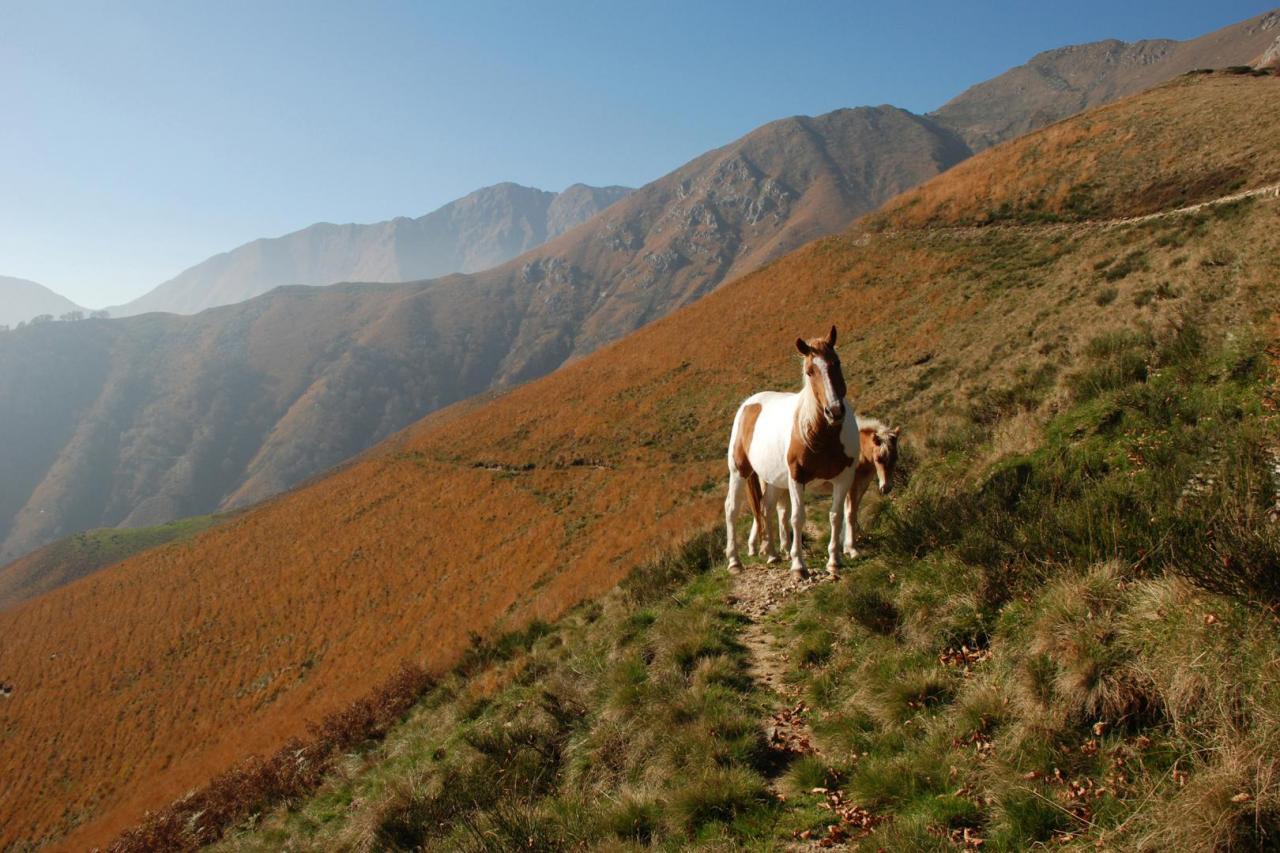
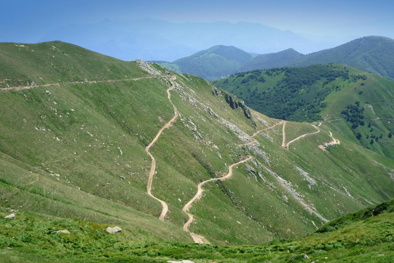
From Pian Cavallo to Pian Vadà and Zeda you walk along cart tracks, paths and fortifications belonging to the "Cadorna Line" that was built during the First World War as a war road and is now a precious resource for mountain hiking. The route is already equipped with a series of didactic panels that were set up during a wide conservative restoration project of the Cadorna Line artefacts, which was implemented by the Park and the Municipality of Aurano with funds from the Ministry of the Environment and Interreg. The strategic geographical location of the defensive lines, together with the orographic location of the fortified positions, today offers great landscape opportunities and astonishing views up to the Apennines, Monviso and the Insubric lakes below. The geological theme offers an extraordinary opportunity to read about the phenomena of the birth of a continent and the alpine orogeny related to the so-called "Serie dei Laghi". The chosen itinerary, with the scientific support of the University of Milan, is perfectly suitable to illustrate the complex geological phenomena that lead to the formation and growth of the continental crust. In fact, the ground clearly shows the evidence of a succession of events that took place over about 300 million years and that are connected to the global tectonics of the planet. Through the restoration project, the sites that best respond to the enhancement of the studied lithological and geomorphological components have been identified and the most suitable points for the arrangement of 13 explanatory panels/reading stands have been selected.