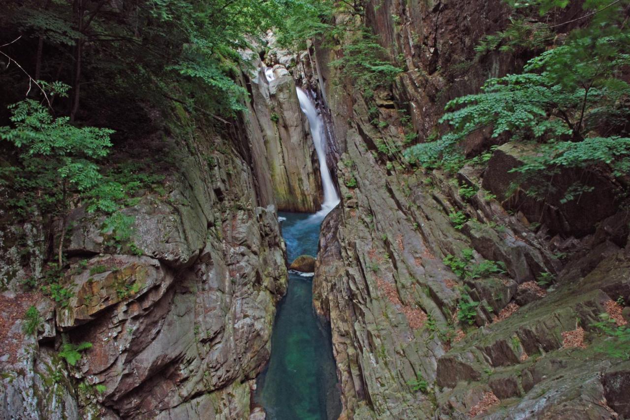
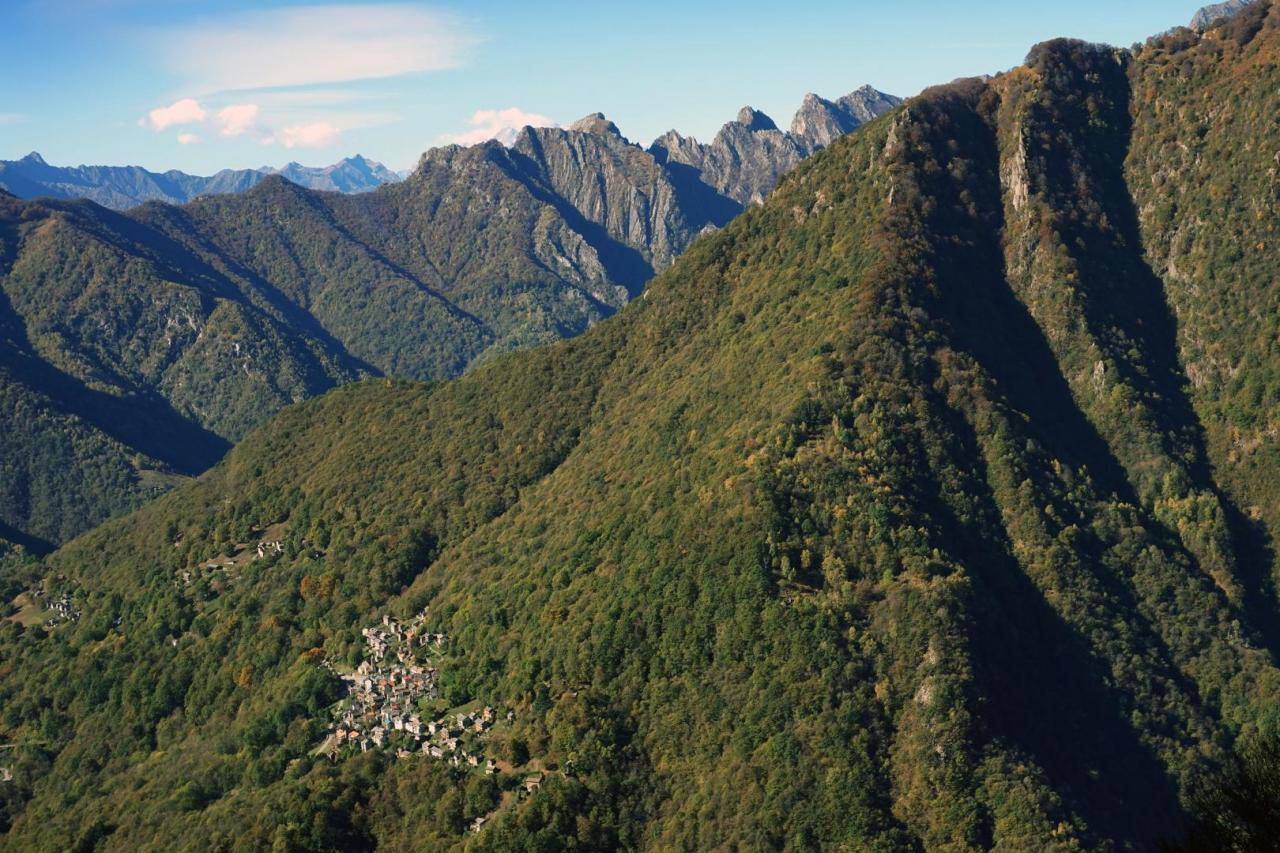
From the bivouac of Alpe Curgei, go down towards Cicogna along trail VBAP06, a track that is not always visible. From Curgei, at an altitude of 1338 m, to Varola, at an altitude of 921 m, the trail runs along the ridge that closes the ancient glacial formation of the Fornale of Val Pobbiè to the south-west, moving mainly through the beech forest and crossing pastures and mowed meadows that once opened around mountain pasture lands and short fallow meadows, which have now become wild and disappear, populated by fern, broom and birch. From Varola, the trail descends again along the ridge to an altitude of about 750 m, then it turns left southwards and reaches, with an easy crossing, Corte di Premiago (695 m). From here, along a steep mule track, you lose altitude in a natural watershed and, after going past a hump, you reach the gorge of the Pogallo stream, which you cross at the Ponte della Buia (463 m). Beyond the bridge, the trail climbs up steeply on a mule track that preserves, for long sections, the ancient stepped cobblestones and reaches, a little downstream of the village of Cicogna, trail VBP00 that climbs up to the gorge of the Pogallo stream, from Cicogna to Pogallo. Take trail VBP00 to the right, towards Pogallo, along the majestic Sutermeister road, a historic stone-paved road, which runs high above the stream on the western side of the valley, passing a lot of small valleys, gullies and ravines, supported by dry stone walls and, in some sections, cantilevered on the gorge. With the continuous up and down of about 150 m, in an hour and a half you can reach the wide meadow of Pogallo. After crossing the meadow, before reaching the village, follow trail VBAP12 to the right along the edge of the meadow until you take the stone mule track that, hidden by the forest, goes down steeply towards the gorge of the Ghina stream you can cross on a stone bridge. The trail goes up alternating orographic left and right sections, crossing the pastures of C.le dei Galli, Alpe Preda di Qua and Alpe Preda di Là, up to Alpe Pian di Boit (1128 m), where the homonymous bivouac of the Park is located, which concludes the leg of the itinerary. The bivouac, unattended and always open, provides about 8 beds on wood flooring in the area below the roof, it is heated with a fireplace and has a water fountain in the pertinent area. For information, please call the Park Authority at 0324/87540.