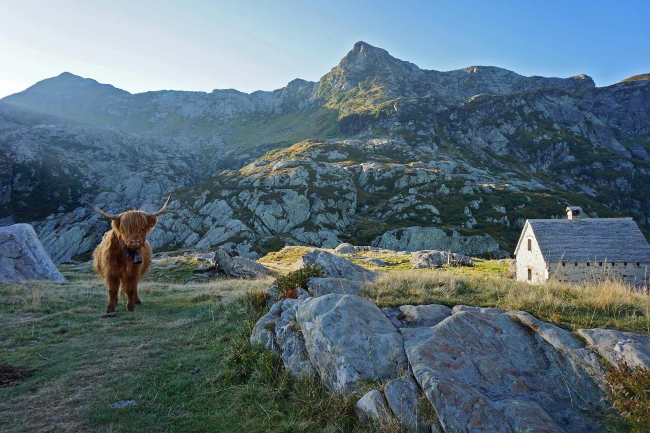
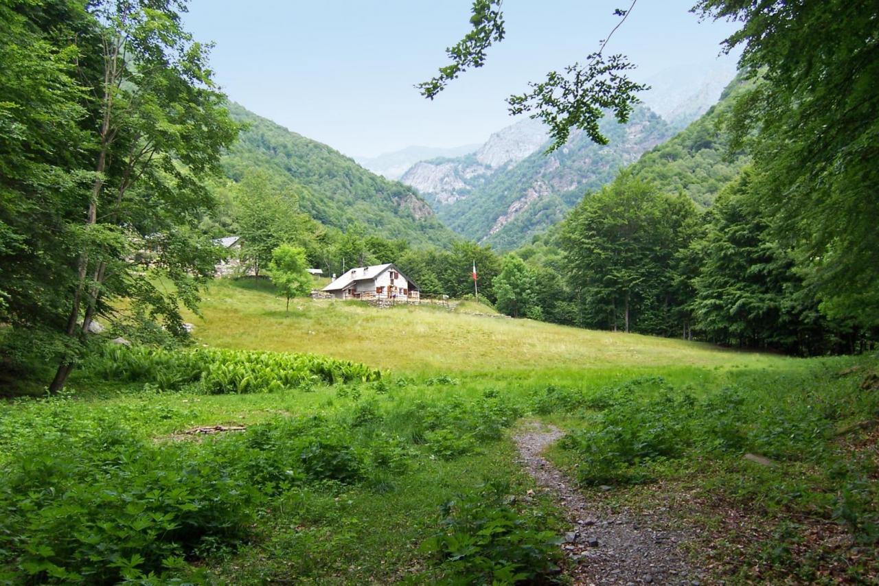
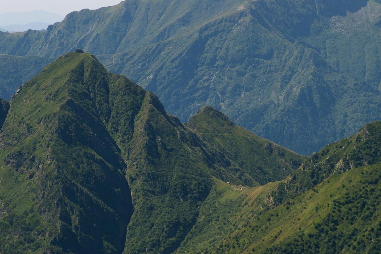
From the bivouac of Alpe Scaredi (1841 m), go down along trail VBAP00A towards Alpe In La Piana, first through alpine pastures, then through a beech forest, crossing the pastures of La Balma (1544 m), Boschelli (1420 m) and Portaiola (1288 m). A series of long hairpin bends in the forest lead to the Fiorina stream (920 m), which you cross on a footbridge, and after a few minutes along a short section in the forest you arrive at Alpe In La Piana (936 m). The place is an important intersection of the routes that connect the northern area of the protected zone. The pasture land hosts three bivouacs of the Park and the station of the State Forestry Corps. The bivouacs, unattended and always open, provide space for 25 beds on wood flooring in their respective areas below the roof and are heated with a stove; the mountain pasture has a water fountain in the pertinent area. For information, please refer to the Park Authority at 0324/87540. The route continues towards Val Gabbio-La Colma di Premosello. From Alpe In La Piana, follow trail VBAP00A that enters into the beech forest towards the south-west side and, going around the slopes of Monte Mottac, it takes and climbs Val Gabbio up to the bridge over the stream (949 m). Again along trail VBAP00A, after crossing the stream, you go up the orographic right side with a steep zigzag to Colletta (1270 m); then, on an easy track, continue in Val Serena towards the Val Serena stream. After crossing the stream, the route climbs up Alpe Serena and then continues uphill, on a visible track, up to Alpe La Colma (1728 m), the site of the homonymous bivouac of the Park, which concludes the leg of the itinerary. The bivouac, unattended and always open, offers space for about 10 beds on wood flooring in the area below the roof, it is heated with a stove and has a water fountain in the pertinent area. For information, please refer to the Park Authority at 0324/87540.